
Agricultural Land Classification
Clear evidence on agricultural land quality for planning and development
LDC provides Agricultural Land Classification surveys for planning, development, infrastructure, renewable energy, minerals, environmental and land-restoration projects across the UK.
We assess agricultural land quality, identify Best and Most Versatile land and provide clear mapping and technical evidence to support site appraisal, planning applications and Environmental Impact Assessment.
We have one of the largest in-house teams of soil surveyors in the UK, allowing us to carry out your ALC project quickly and seamlessly.

UK-wide Consultancy

Detailed field surveys

Planning and EIA support

Best and Most Versatile land expertise
Service Overview
Agricultural Land Classification, commonly known as ALC, is the system used in England and Wales to assess the quality of agricultural land. Land is graded according to the extent to which physical or chemical characteristics affect its long-term agricultural potential.
Grades 1, 2 and 3a are normally classed as Best and Most Versatile agricultural land. Understanding whether this land is present can be important when comparing sites, developing layouts and preparing planning evidence.

Detailed ALC Surveys
Undertake field investigation, soil-profile description and land classification for planning and assessment.

Early-Stage Site Appraisal
Provide proportionate land-quality advice to inform feasibility, option selection and project design.

Reporting and Planning Support
Prepare mapped findings and clear technical reporting for planning applications, EIA and consultation.
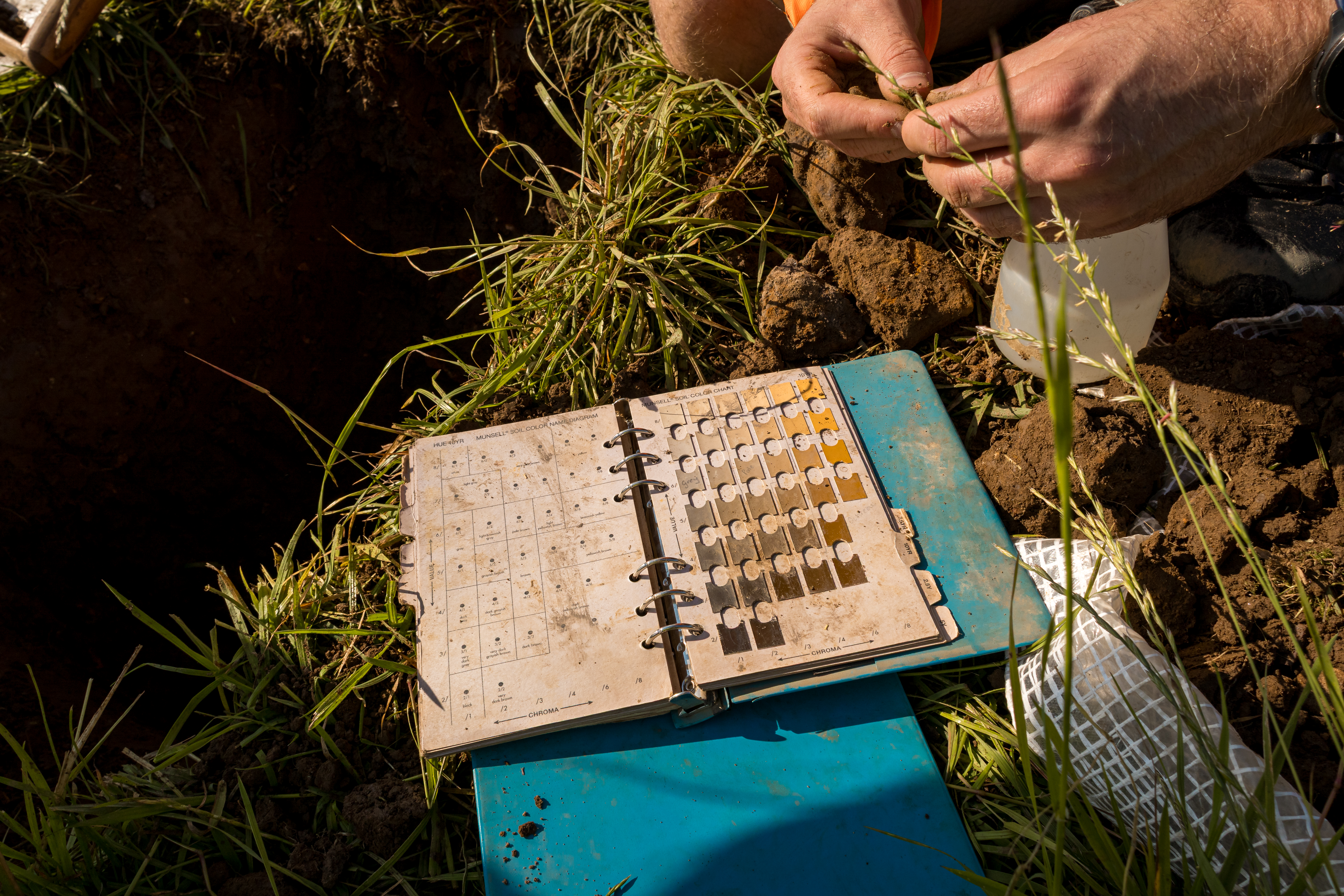
Agricultural Land Classification Surveys
Agricultural Land Classification (ALC) is the system used in England and Wales to assess the quality of agricultural land and identify Best and Most Versatile (BMV) land.
When is an ALC survey needed?
- Solar farm and BESS developments
- Residential or commercial development on greenfield land
- Road, rail, cable, pipeline and other linear infrastructure
- Mineral extraction and restoration schemes
- Environmental or habitat-creation projects
- Strategic land promotion and site comparison
- Planning applications affecting agricultural land
- Environmental Impact Assessment work
What LDC provides
- Detailed and semi-detailed Agricultural Land Classification surveys
- Soil-profile examination and description
- Review of climate, site and soil factors
- Identification of Best and Most Versatile agricultural land
- Mapping of land quality across a site
- Technical reporting for planning submissions
- Input to Environmental Statements and Environmental Impact Assessments
- Advice on layout, mitigation and agricultural-land implications
Land Assessment in Scotland
For projects in Scotland, LDC can advise on land-quality assessment using the Land Capability for Agriculture framework relevant to Scottish planning and land-use policy.
How we support your project

Scope
Confirm the site, project stage, planning context and required survey detail.

Survey
Examine soil profiles and record the climatic, site and soil factors affecting land quality.

Classify
Determine agricultural land grades and identify Best and Most Versatile land.

Report
Provide clear maps, conclusions and practical advice for the project team.
Soil Management Plans
A Soil Management Plan sets out how soils should be handled during construction, restoration or reinstatement, providing practical guidance for contractors and project managers
A Soil Management Plan can include:
- Soil stripping methods
- Storage & stockpile management
- Handling restrictions during wet conditions
- Trafficking controls
- Drainage & compaction considerations
- Reinstatement methods
- Aftercare requirements
- Monitoring and review
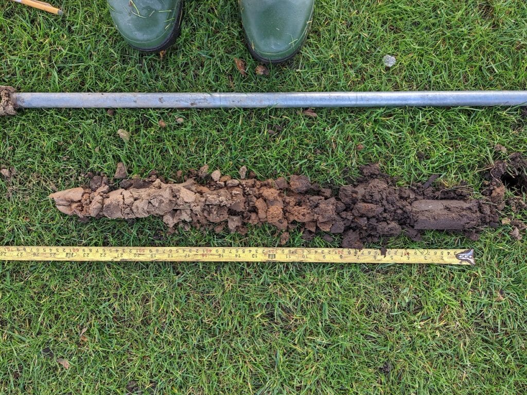
Why soil management matters
Poor soil handling can lead to costly problems and long-term impacts on land performance.

Compaction & poor structure

Poor drainage & waterlogging

Reduced agricultural
productivity

Soil mixing & contamination

Loss of soil structure

Increased restoration costs

Delays during construction

Difficulties with reinstatement
Good soil management protects soil resources, reduces risk and improves outcomes for your project.
Why choose LDC?
We combine deep expertise in agricultural land, soils, drainage, geospatial mapping and land management to deliver practical, reliable advice.

Agricultural land specialists
Assessment grounded in practical knowledge of farming, soils and land performance.

Integrated understanding
Land quality considered alongside soil resources, drainage and development effects.

Planning-ready evidence
Clear, proportionate reports prepared for project and planning decisions.

UK project experience
Support for energy, infrastructure, minerals, development and environmental projects.

Amy Sales
BSc (Hons), MSc, FACTS
Associate Director – Soils
Agricultural Land Classification expertise you can rely on
Amy is one of LDC’s specialists in Agricultural Land Classification and agricultural land assessment. Drawing on her years of soil survey, land evaluation and planning-related consultancy, Amy helps clients accurately assess agricultural land quality, identify Best and Most Versatile agricultural land and understand the implications for development and planning.
Our Agricultural Land Classification work is supported by a team with specialist qualifications and practical experience in soils, agriculture and land-use planning. Meet the Agricultural Land Classification team and learn more about the people responsible for delivering our surveys and technical advice.